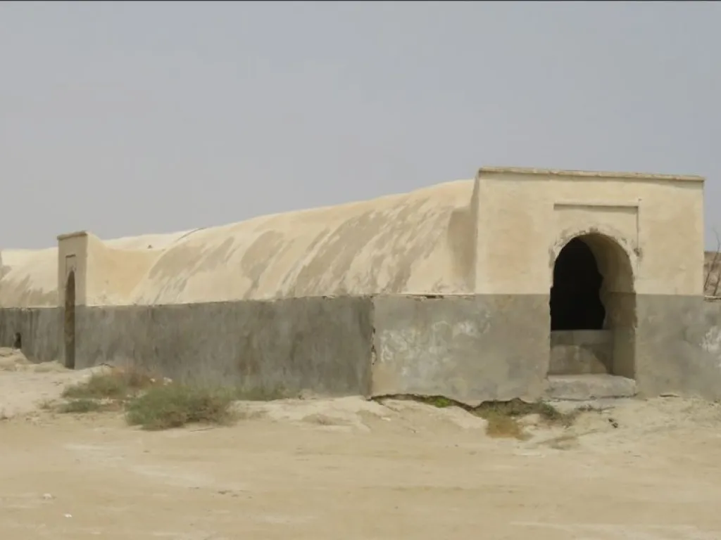
Old Cisterns
About Old Cisterns
Qeshm Island, the largest island in the Persian Gulf with an area of about 1,445 square kilometers, is located near the Strait of Hormuz between 26 degrees 45 minutes north latitude and 55 degrees 47 minutes east longitude relative to the Greenwich Meridian. Its elevation is 10 meters above sea level, with a length of 112 kilometers and a width ranging from 11 to 33 kilometers.
Soheili Village is situated on the northern coast of Qeshm Island, 60 kilometers from Qeshm City. The village lies between Dehkhoda Village to the east and Tabl City to the west. Access to the village is available from the northern coast and via a road from the southern coast after passing the Naqasheh Village.
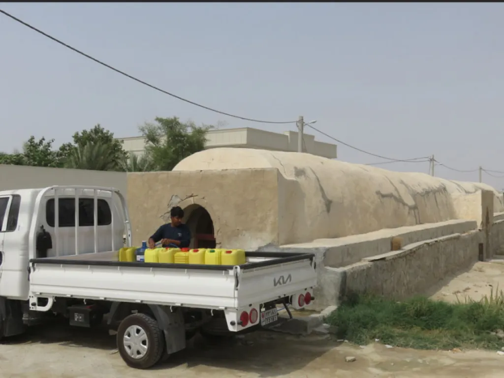
Within Soheili Village, several historic water structures (berkeh) exist and are still used by the villagers. In recent years, several earthen dams (karband) have been built upstream to control seasonal floods and to support the palm groves.
Soheili Village Water Reservoirs (Berkeh):
-
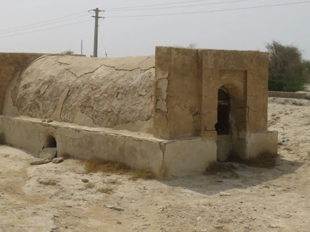
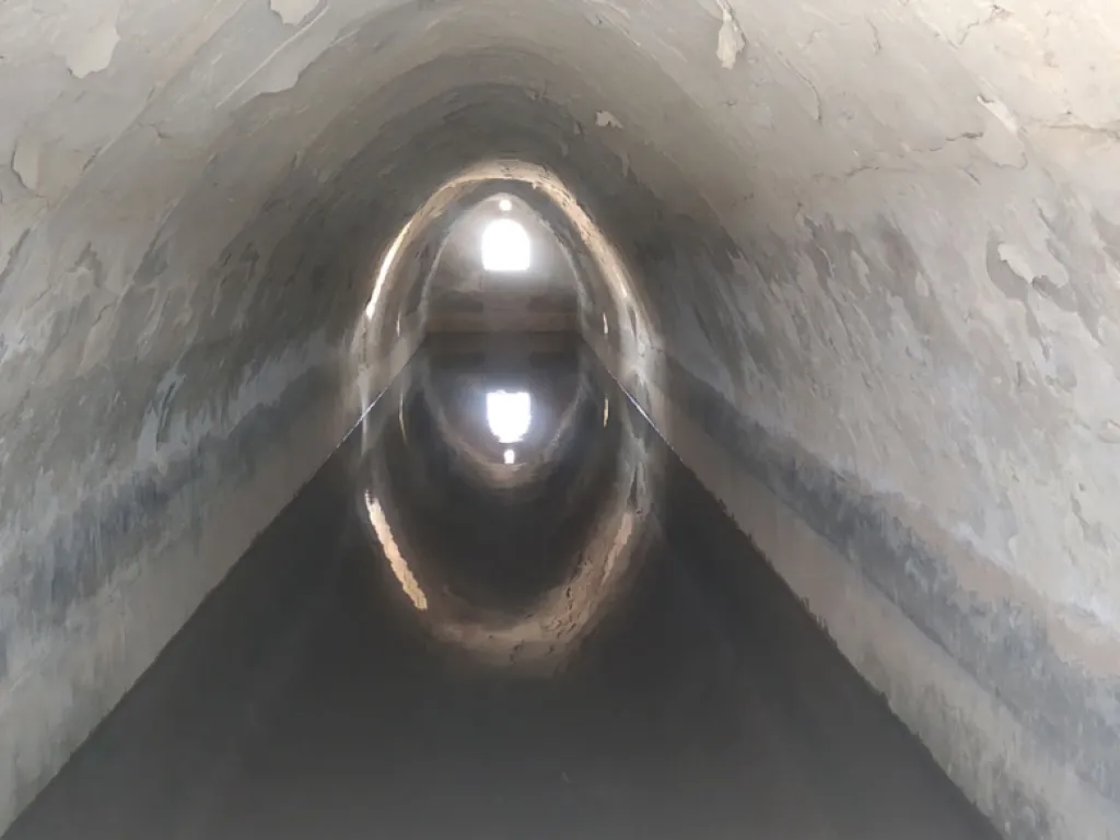
Gerdingi Berkeh: Located within the village fabric, this is a long reservoir still in use today.
-
Suragh Berkeh: A long reservoir, partially repaired, located outside the village fabric to the west beside the western orchards.
-
Mokh Sheikh Berkeh: Situated east of the village on a gentle rocky slope. The surface water channels are visible. This reservoir holds water, with metal gates at the entrances to prevent animals from entering. Its walls are constructed with sarooj mortar, and the mortar preparation area is identifiable nearby.
-
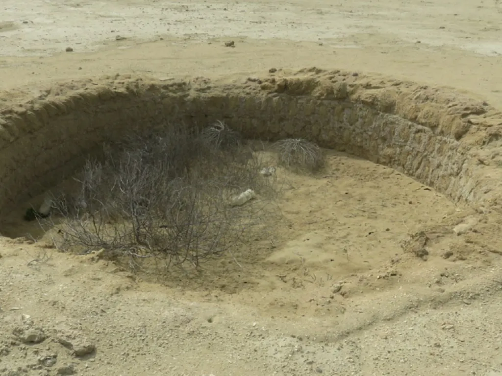
Dowlat Berkeh: Located about 200 meters southeast of Mokh Sheikh Berkeh, this reservoir lies along a surface water path, with an earthen embankment providing water storage.
Other reservoirs in the village include Houdela Berkeh near the sports field, Chap Dast Berkeh, Mokh Soheili Berkeh inside the palm groves, Ziarat Berkeh, and Mohammad Hasan Berkeh.

